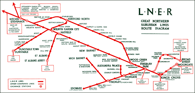
Cartography has been a part of mankind since its beginning having a history of up to 8.000 years. The debate about the first map relies upon the definition of map. Mapping became increasingly important as space grew in complexity. It culminated in the abstraction of the Transit Map. This topological map in the form of a schematic diagram, unlike conventional maps, is not geographically accurate illustrating a fixed distance between points, compressing those in the outer area of the system and expanding those close to the center. The abstraction of rout-maps for individual transit lines can be traced back as early as 1908, but it was George Dow who, for the first time, launched a diagrammatic representation of an entire rail transport network (in 1929), followed by Harry Beck's iconic London Underground Map in 1933.

With the advent of modernity things got even more complex as the concepts of time and space became intertwined. "Space-time compression" became a platitude in the debates on post-modernity and post-modernism. As space takes over place, and as both time and space get diluted into each other, one can begin to feel "lost in space", as Wigley noted. Time, not distance, has become the most importante criterion on determining the spacial organization of the various parts composing (post)urban landscape. Paul Virilio, who analyzed modernity's fascination with speed, has argued that modern transportation's speed is the most important factor in the current disurbanization process. Categories like time and speed undermine the geographical identity of a city. Koolhaas added to this discussion, when talking about Euralille in the "Beyond Delirious" article, that "[if] you imagine not distance as a crucial given but [the] time it takes to get somewhere then there is an irregular figure which represents the entire territory that is now less then one hour and thirty minutes from Lille" (Nesbitt, 1996: 334) (read here).

That must have been what Xiaoji Chen thought. She (re)searched into irregular or distorted maps of Paris as a way to depict one's mental map of the city, which she says "is not measured in miles". After abstraction comes the "baroque" (not a pejorative). Xiaoji made what she calls "isochronic maps" [sic] of Paris under different transportation modes. It can be seen in the car based map how "the city center expands from congestion, and the edge is denser". If you add eco-concerns to the equation you get yourself the basis to a whole lot of possible services. The video shows how the map transforms itself when time and carbon footprint go into play.


0 comments:
Note: only a member of this blog may post a comment.